IRONMAN 70.3 Cartagena Course Guide: A Caribbean Endurance Showcase
Taking place on November 29, 2026, IRONMAN 70.3 Cartagena offers athletes a unique opportunity to race through a UNESCO World Heritage site. Nestled on Colombia's Caribbean coast, this event blends a rich colonial history with a fast, coastal course layout. Over the years, Cartagena has earned a reputation for its vibrant spectator energy, vibrant colonial architecture, and challenging tropical climate.
The race features a standard middle-distance profile of 113 kilometers (70.3 miles), consisting of a 1.9 km (1.2-mile) swim, a 90 km (56-mile) bike, and a 21.1 km (13.1-mile) run. This venue particularly suits athletes who excel in high-humidity environments and flat, high-cadence cycling courses. With a finish line set against the backdrop of the historic walled city, it is one of the most visually stunning events on the Latin American triathlon calendar.
Detailed IRONMAN 70.3 Cartagena Course Analysis
Swim Course
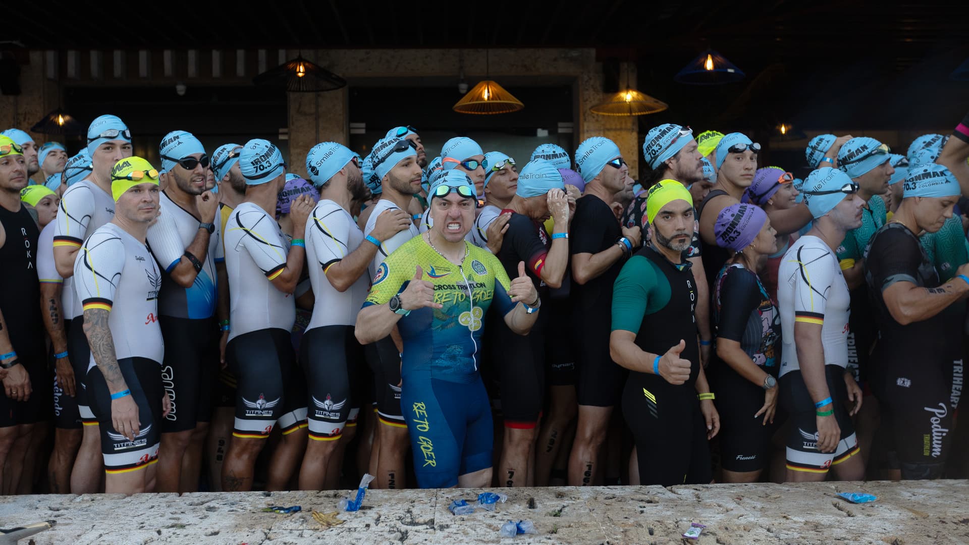
- Distance: 1.9 kilometers (1.2 miles)
- Water Type: Saltwater bay (Bahía de las Ánimas)
- Average Water Temperature: Typically ranges between 27°C and 29°C (81°F to 84°F), making it a non-wetsuit swim for age-groupers.
- Start Format: Rolling self-seeded start.
The swim takes place in the protected waters of the Bahía de las Ánimas, right in front of the Centro de Convenciones Cartagena de Indias. The single-loop, rectangular course is sheltered from the open ocean, which significantly reduces the risk of large swells or breaking waves.
However, athletes must navigate specific localized challenges:
- Sighting and Sun Glare: Depending on the exact start time, early morning sun glare can make sighting the turn buoys difficult on the return leg.
- Water Movement: While shielded from the ocean, the bay can experience minor tidal currents and choppy conditions if morning trade winds pick up early.
- Crowding: The initial stretch can feel tight as the field funnels into the bay, though the rolling start helps disperse athletes.
Bike Course
- Distance: 90 kilometers (56 miles)
- Elevation Profile: Predominantly flat with minimal elevation gain (typically under 250 meters of total climbing).
- Course Layout: An out-and-back route that takes athletes out of the city along the Vía al Mar toward Barranquilla.
The bike segment is fast, flat, and highly aerodynamic, allowing strong time-trialists to sustain a steady effort. After exiting the transition area, athletes head north along the coastal highway, parallel to the Caribbean Sea.
Key characteristics of the bike leg include:
- Wind Exposure: The Vía al Mar is highly exposed to coastal crosswinds and head winds. The outbound leg often features a helpful tailwind, while the return leg back to Cartagena typically presents a grueling, sustained headwind.
- Road Surface: The highway features high-quality, smooth asphalt, allowing for low rolling resistance. However, athletes must watch for expansion joints on bridges and occasional debris blown onto the shoulders.
- Key Landmarks: The route offers sweeping views of the Caribbean coastline, passing the beaches of La Boquilla and the tidal lagoons just north of the city limits.
Run Course
- Distance: 21.1 kilometers (13.1 miles)
- Terrain: Flat, paved surfaces including asphalt, concrete, and historic cobblestones.
- Elevation: Flat, with nominal elevation changes limited to ramps and short pedestrian bridges.
- Course Layout: A multi-loop course winding through the historic walled city (Ciudad Amurallada) and the modern sector of San Diego.
The run course is the crown jewel of the event, bringing athletes directly into the heart of Cartagena’s colonial history.
Athletes will encounter the following conditions on the run:
- Extreme Heat and Humidity: Because the run takes place in the heat of the day, temperatures regularly exceed 30°C (86°F) with relative humidity levels often hovering above 80%.
- Sun Exposure: While some narrow colonial streets offer brief patches of shade from overhanging balconies, long stretches along the city walls (Murallas) are completely exposed to the midday sun.
- Technical Footing: Navigating the old city requires focus. The course features tight turns, transitions from modern pavement to historic cobblestones, and narrow passages lined with spectators.


